
Long-Range Laser Measurement with Integrated Compass, Inclinometer, and Spatial Positioning
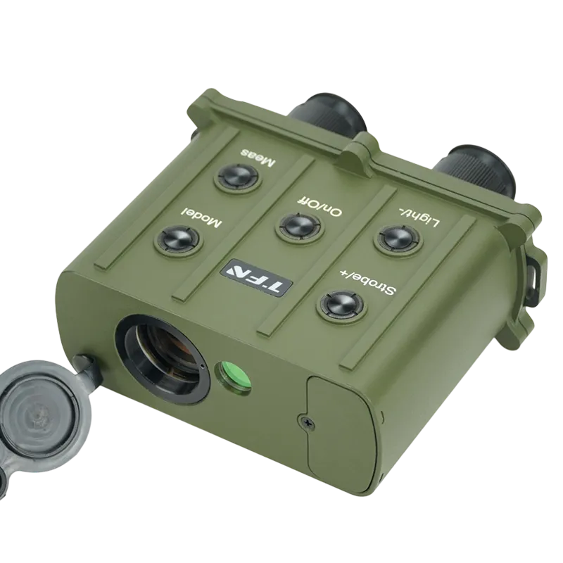
The TFN FKI Series is a professional laser rangefinder platform designed for users who require more than simple distance measurement. Combining long-range laser ranging, digital compass, inclinometer, and automatic horizontal/vertical distance calculation in a single rugged device, the FKI Series delivers comprehensive spatial information for field operations.
- Models Available from 4 km to 10 km
- Integrated Digital Compass
- Integrated Electronic Inclinometer
- Automatic Horizontal Distance Calculation
- Automatic Vertical Distance Calculation
- Azimuth Measurement
- Range Gating Function
- Low-Dispersion Optical System
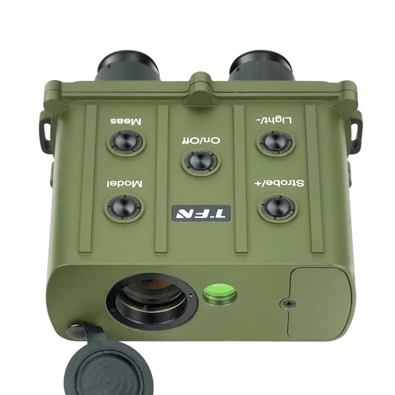
- Data Export Capability
- Waterproof, Dustproof, and Shockproof Design
Available in models ranging from 4 km to 10 km maximum measurement capability, the FKI Series provides precise distance measurement, azimuth determination, inclination measurement, and target positioning for defense, surveying, forestry, infrastructure inspection, and outdoor operations.
With advanced range gating technology, onboard data storage, and rugged all-weather construction, the FKI Series helps professionals collect accurate field data faster and with fewer tools.
Long-Range Measurement with High Accuracy
The FKI Series is designed for professionals who require reliable distance information across large operating areas.
Depending on the model, measurement capability extends up to 10,000 meters while maintaining distance accuracy of ±0.5 meters.
The high ranging success rate helps reduce repeated measurements and improves efficiency during long-range observation, surveying, and inspection tasks.
Complete Spatial Awareness Beyond Distance Measurement
Distance alone often provides only part of the information required in the field.
The FKI Series combines laser ranging with an integrated digital compass and inclinometer to provide:
- Straight-line distance
- Horizontal distance
- Vertical distance
- Azimuth
- Inclination angle
By automatically calculating spatial relationships, the system provides a more complete understanding of target location and terrain conditions.
Integrated Compass and Inclinometer for Target Positioning
The built-in digital compass provides azimuth measurement while the electronic inclinometer measures vertical angles.
Together, these functions allow operators to determine target direction, elevation relationship, and relative position from a single observation point.
This capability is particularly useful for route planning, terrain analysis, target location, and infrastructure inspection.
Range Gating for Improved Target Selection
In complex environments, unwanted reflections from vegetation, structures, terrain features, or adverse weather conditions can interfere with measurements.
The FKI Series incorporates an adjustable range gating function that enables operators to define a specific ranging window and prioritize measurements within the selected distance zone.
This helps improve target discrimination and reduces the likelihood of receiving measurements from unintended objects.
High-Performance Optics for Comfortable Observation
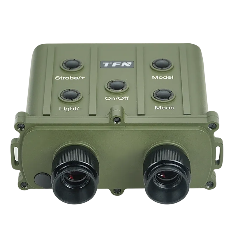
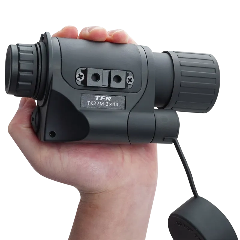
The optical system combines 7× magnification with low-dispersion optics to deliver clear, high-contrast images across a wide range of observation conditions.
The adjustable diopter system allows users to optimize viewing comfort according to individual eyesight requirements.
The result is a clearer observation experience during prolonged field use.
Integrated Data Storage and Digital Workflow Support
The FKI Series can store up to 1,000 measurement records directly within the device.
Stored data can be reviewed in the field and transferred to external systems for analysis and reporting.
This reduces reliance on manual note-taking and improves measurement traceability across long-term projects.
Rugged Design for Demanding Field Conditions
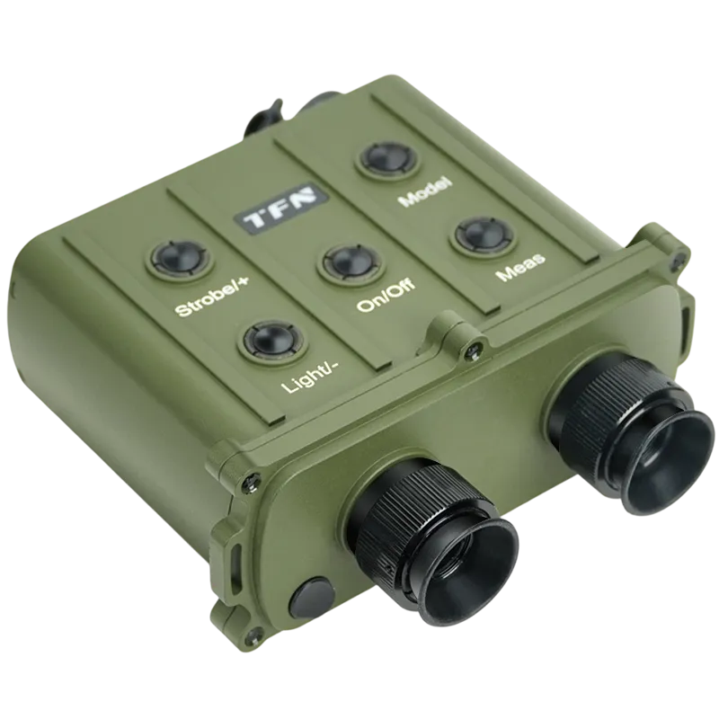
Built for professional deployment, the FKI Series features waterproof, dustproof, and shock-resistant construction.
The system operates reliably across temperatures ranging from -20°C to +50°C and is designed to withstand challenging outdoor environments.
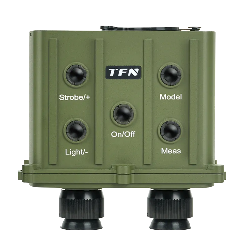
Its ergonomic layout allows efficient operation even while wearing gloves.
| Parameter | Specification |
| Measuring Range | F4KI: 30~4000 m. F5KI: 30~5000 m. F6KI: 30~6000 m. F10KI: 30~10000 m. |
| Ranging Error | ±0.5 m |
| Range Gating | 20~5100 m (step 10 m) for all models |
| Hit Rate | 98% |
| Repetition Frequency | 1/6~1/3 Hz (10~20 times/min) |
| Compass Accuracy | ±1 degree |
| Inclination Accuracy | ±0.1 degree (within ±25°) |
| Measurement Functions | 1000 data storage |
| Receiving Aperture | Φ30mm |
| Field of View (Scope) | 6.5° |
| Magnification | 7X |
| Wavelength | 1.064 μm |
| Light Source | Nd:YAG |
| Output Energy | ≥5mJ |
| Operating Life | ≥20,000 times |
| Operating Temperature | -20°C ~ +50°C |
| Environmental Protection | Dustproof, waterproof, shockproof |
| Dimensions | 151 mm × 154 mm × 74 mm |
| Weight | 1 kg |
| Power Supply | Li-ion 18650, 3.7V / 3400mAh (one cell) |
Applications
The FKI Series is well suited for military personnel requiring accurate range, direction, and elevation information during field operations.
Tactical Reconnaissance
Determine target distance, direction, and elevation during reconnaissance and observation missions.
Border Surveillance
Support long-range monitoring of personnel, vehicles, and infrastructure across large border sectors.
Target Location
Assist operators in identifying and locating targets using distance, azimuth, and inclination data.
Forward Observation
Provide accurate measurement information from observation posts and elevated terrain positions.
Route Planning & Terrain Assessment
Evaluate terrain features, elevation changes, and movement corridors during mission planning.
Frequently Asked Questions
A laser rangefinder binocular combines traditional binocular observation with an integrated laser distance measurement system, allowing users to observe and measure targets using a single device.
Depending on the model, the FKI Series supports maximum measurement capability from 4 km to 10 km.
The system measures distance, azimuth, inclination, horizontal distance, and vertical distance.
A laser rangefinder with compass and inclinometer provides target direction, elevation, and positioning information in addition to distance measurement, improving situational awareness and field efficiency.
Range gating is a target discrimination function that allows operators to define a specific distance window and reduce interference from unwanted reflections outside the selected range.