
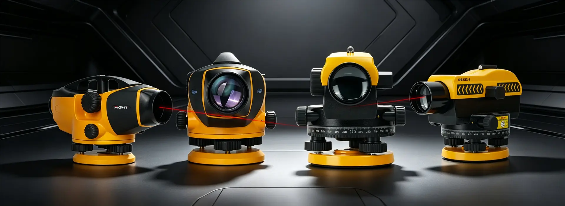
Professional Optical Leveling Instruments for Construction, Infrastructure & Engineering Surveying
Automatic Levels are designed to deliver accurate, efficient, and reliable elevation measurements for construction surveying, infrastructure development, mining operations, deformation monitoring, and engineering projects.
Featuring precision automatic compensators, high-resolution optics, and rugged field-ready construction, our automatic levels eliminate manual leveling errors and help surveyors achieve consistent results in demanding environments. Whether you are performing routine construction layout or high-precision leveling surveys, FUP offers the right solution for your application.
Auto-Level Comparison
| Feature / Model | E32 | DSA32-1 |
|---|---|---|
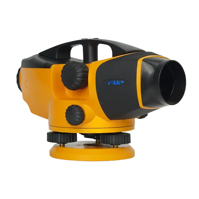 | 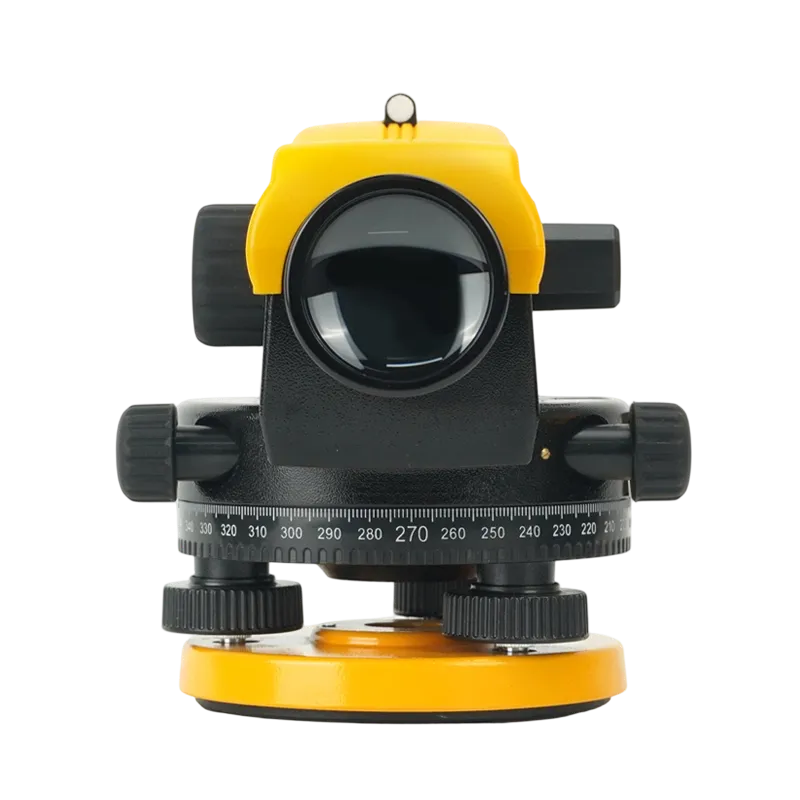 | |
| Magnification | 32× | 32× |
| Accuracy | 1.0 mm/km | 1.0 mm/km |
| Minimum Focus Distance | 0.5 m | 0.8 m |
| Horizontal Circle | Standard | 360° Graduated Circle |
| Operating Temperature | -30°C ~ +50°C | -30°C ~ +50°C |
| Protection Rating | IP54 | IP54 |
| Weight | 1.8 kg | 1.65 kg |
| Best for | Building Construction, Utilities, Site Preparation | Survey Control, Infrastructure, Monitoring |
Built for Demanding Surveying Applications
Construction & Site Layout
Establish accurate elevations for foundations, floors, roads, and utility installations.
Infrastructure Development
Support highways, railways, bridges, airports, and large-scale public works projects.
Mining & Quarry Operations
Perform elevation control, volume calculations, and site monitoring in harsh environments.
Deformation Monitoring
Monitor settlement, structural movement, and long-term infrastructure stability.
Military & Defense Engineering
Support military base construction, runway leveling, field engineering, and tactical infrastructure deployment.